Weather- and Climate-Resilient Smart City
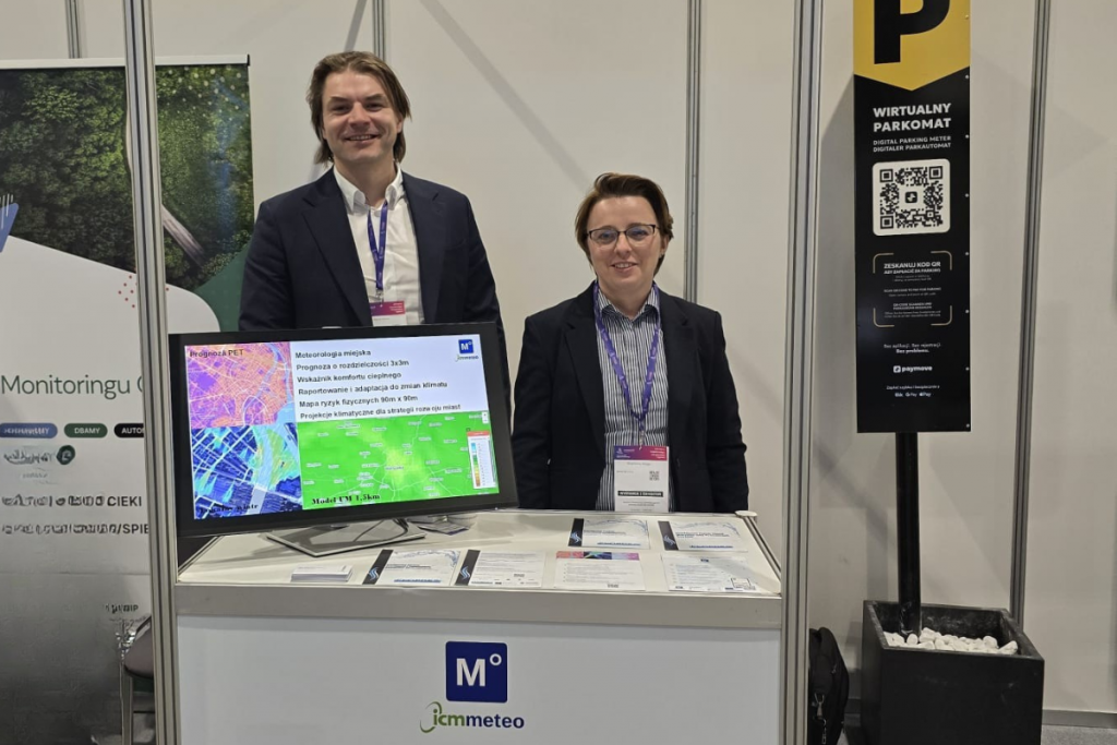
A set of solutions for precise urban meteorological protection, combining high-resolution numerical forecasts, IoT monitoring, analytical modules, and interfaces for municipal services, was presented by the Meteo team at the Smart City Expo in Warsaw at the end of October.
“Representatives of cities, local governments, technology companies, and institutions responsible for safety and urban management who visited our stand in large numbers were able to learn about our projects in the field of intelligent weather risk management systems, from heavy rainfall impacting drainage networks to flash floods,” said Magdalena Mozga from ICM Meteo. “We’d like to thank everyone who stopped by. These were incredibly inspiring meetings! We believe that together we can create cities resilient to meteorological hazards and climate change,” she added.
During the Warsaw Smart City Expo, the Meteo team presented:
Project FLOPRES – “Flash Flood Prediction and Prevention System”
- An early warning module that integrates real-time meteorological and hydrological data, geospatial analysis, and AI-assisted predictive models → https://www.meteo.pl/flopres
- The project aims to reduce the negative impacts of flash floods, particularly in high-risk areas such as the Prešov region in Slovakia (see article) and Małopolska in Poland.
- At the expo, the team showcased an application with an early warning module → story map available at: flopres.develop.iesprit.sk
- The expert module within FLOPRES includes expert analysis, decision support, and integration of multiple meteorological-hydrological data streams → see Civitta
- As a result, users, such as municipal authorities and crisis management services, receive a tool that not only detects threats but also suggests adaptive and protective actions.
→ More at flopres.eu and on LinkedIn
Project SOBEK – “System for Optimizing the Ongoing Operation of Combined and Stormwater Sewer Networks under Extreme Events”
- SOBEK integrates rainfall forecasting, SCADA/GIS data, and hydraulic modeling modules to anticipate network overloads, support retention management, and prepare response scenarios.
- The system is jointly developed by ICM University of Warsaw and KartGIS.
→ More information available on the ICM and KartGIS project websites.
Urban Meteorology
- Urban microclimate model, a tool for mapping heat islands, local wind conditions, and thermal stress, supporting green infrastructure planning and city cooling strategies.
- Collaboration with Meteoblue in the field of urban data and products (“Urban Heat Maps,” “Urban Climate Services”).
- The combination of local Meteo models and Meteoblue data enables precise identification of risk zones and planning of effective adaptive interventions, from wind corridors to green infrastructure.
Invitation to Collaborate
“We are continuing discussions with cities and crisis management institutions, we invite you to cooperate on pilot implementations of our solutions. In the coming months, we plan to present the FLOPRES expert module and demonstrate the integration of our solutions with municipal Smart City platforms. Please contact us at meteo.pl/kontakt. We’ll be happy to share materials, presentations, and invite you to upcoming demos and webinars,” said Magdalena Mozga.